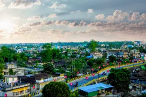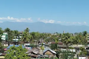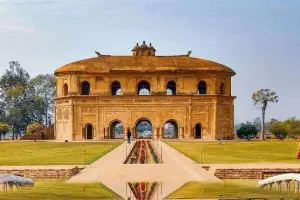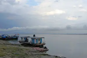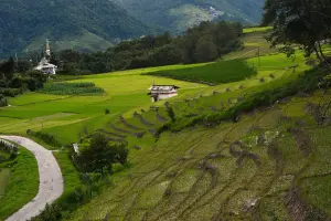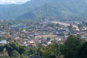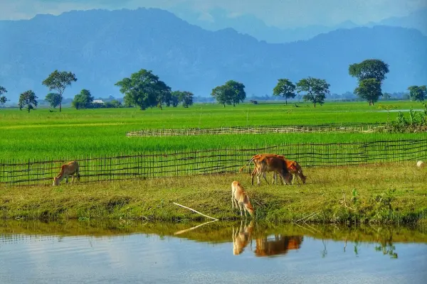
Located on the north bank of the Brahmaputra River, Dhemaji is often referred to as the easternmost district headquarters of Assam. The name “Dhemaji” originates from the Deori word meaning “playground of floods,” reflecting its fertile but flood-prone land. The region is home to multiple ethnic communities like the Mising, Deori, and Sonowal Kachari, contributing to a mosaic of traditions, weaving, and dance forms. The nearby Malinithan Temple Ruins on the foothills of Arunachal Pradesh are among the most significant archaeological sites in Northeast India. The area’s lush green paddy fields, riverine islands, and mountain views make it a scenic and culturally rich destination for offbeat travelers.
| Location | Google Maps |
|---|---|
| District | Dhemaji |
| State/UT | Assam |
| By Air | Dibrugarh Airport (~90 km) is the nearest airport. |
| By Train | Dhemaji Railway Station connects to Dibrugarh, Guwahati, and North Lakhimpur. |
| By Road | NH 15 connects Dhemaji with North Lakhimpur, Dibrugarh, and Guwahati; regular ASTC and private buses available. |
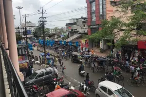
| Local Transportation | Auto-rickshaws, small cars, and shared tempos are commonly used; hired cabs available for nearby sites like Malinithan. |
| Common Scams |
Minimal; travelers should check local ferry timings and pricing beforehand during flood season. |
|---|
| By Popularity | Offbeat , Hidden Gem , Lesser Known |
|---|---|
| By Type | Town |
⚠️ This content may be AI-generated and could contain misinformation. If you notice any issue or want to suggest edits, please let us know.