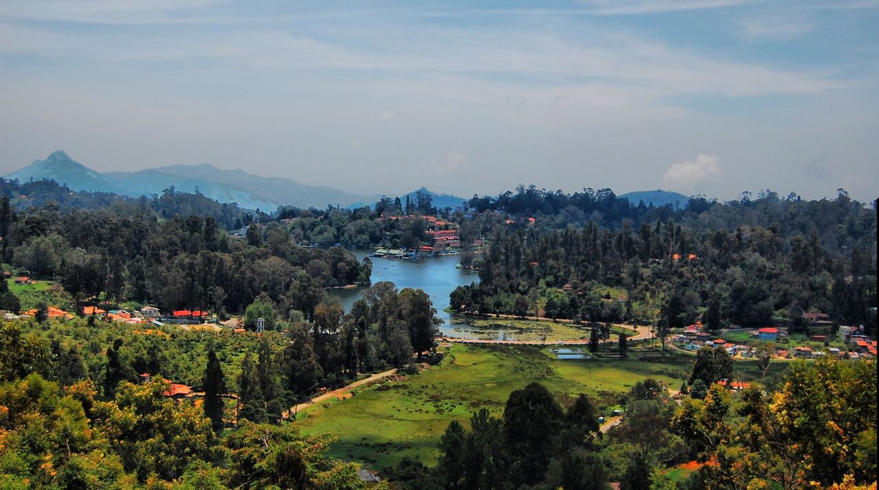
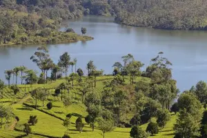
Kodaikanal is a well-established hill station located at an altitude of around 2,100 meters in the Palani Hills of the Western Ghats. It was developed during the British era as a retreat from the heat of the plains. The town is centered around the star-shaped Kodaikanal Lake, which acts as a focal point for most tourist activity.
The area is known for its dense forests, cliffs, and valleys, along with attractions like Bryant Park, Silver Cascade Falls, and Guna Caves. It also has access to trekking trails, including routes toward Dolphin’s Nose and Kurinji Andavar Temple areas. The region occasionally blooms with Neelakurinji flowers (once every 12 years), which is a major natural event.
| Location | Google Maps |
|---|---|
| District | Dindigul |
| State/UT | Tamil Nadu |
| By Air | Nearest airport is Madurai Airport (~120 km); Coimbatore (~170 km) is another option. |
| By Train | Nearest major railway station is Kodai Road (~80 km), from where taxis/buses are available. |
| By Road | Well connected via road from Madurai, Palani, and Coimbatore; ghat roads with multiple hairpin bends. |
| Local Transportation | Auto-rickshaws and taxis are the main options
Rental bikes and cycles are available near the lake Walking is feasible around the lake and nearby areas Local buses connect to nearby villages but are limited |
| Common Scams |
Overpriced taxi packages for local sightseeing
|
|---|
| By Type | Town , Hill Station |
|---|
⚠️ This content may be AI-generated and could contain misinformation. If you notice any issue or want to suggest edits, please let us know.