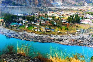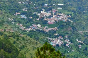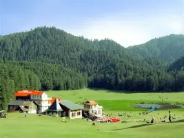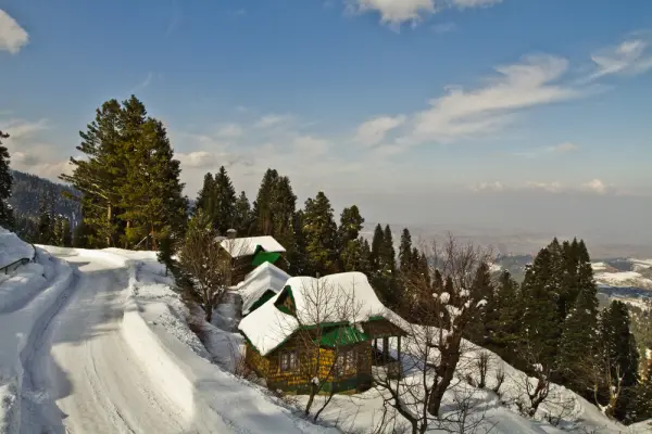
Patnitop, a popular hill station located in the Udhampur district of Jammu & Kashmir, is known for its scenic landscapes and pleasant climate. Situated at an altitude of around 2,024 meters, it offers a perfect escape from the summer heat. Surrounded by dense pine forests, meadows, and snow-capped mountains, Patnitop is a favorite destination for tourists seeking relaxation and adventure. The area is also known for its outdoor activities like trekking, paragliding, skiing, and nature walks. Attractions include the Nag Mandir, Sanasar, and panoramic views of the Shivalik Range. The town serves as a stopover for those traveling to Katra and Vaishno Devi.
| Location | Google Maps |
|---|---|
| District | Udhampur |
| State/UT | Jammu and Kashmir |
| By Air | The nearest airport is Jammu Airport (IXJ), about 110 km away. Taxis and buses are available from Jammu to Patnitop. |
| By Train | Udhampur Railway Station (UHP) is the nearest station, approximately 50 km away. Jammu Tawi Railway Station (JAT), located around 110 km, is another option for long-distance travelers. |
| By Road | Patnitop is well-connected by road via NH44, around 110 km from Jammu. Regular buses, private cabs, and taxis operate from Jammu and other nearby cities. |
| By Type | Town |
|---|
⚠️ This content may be AI-generated and could contain misinformation. If you notice any issue or want to suggest edits, please let us know.