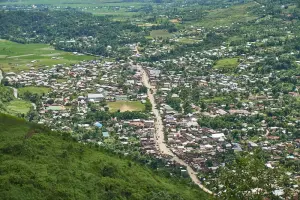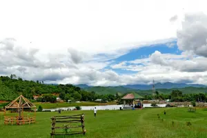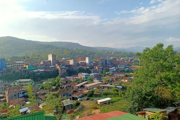
Senapati, lying along the Imphal–Kohima highway, serves as the cultural and natural gateway to Manipur’s hill districts. The district is home to several Naga tribes, each contributing to a diverse mosaic of traditions, crafts, and festivals. The region’s green hills, terraced paddy fields, and unexplored trails make it an emerging eco-tourism and trekking hub.
Mao, the northernmost part of Senapati, shares its border with Nagaland and serves as one of the entry points to the stunning Dzukou Valley, famous for its seasonal blooms. The area is peaceful, rich in folklore, and ideal for travelers seeking authentic community experiences.
| Location | Google Maps |
|---|---|
| District | Senapati |
| State/UT | Manipur |
| By Air | Nearest airport is Imphal Airport (approx. 60 km away). |
| By Train | Nearest railway station is Dimapur (Nagaland) or Jiribam, both requiring a road transfer. |
| By Road | Well-connected via NH-2 from Imphal (2–3 hours). |
| Local Transportation | Shared sumos, local taxis, and motorbikes are common. Short trips between villages are often done by walking. |
| Common Scams |
None known; generally safe and hospitable. Occasionally inflated taxi fares for outsiders. |
|---|
| By Popularity | Lesser Known |
|---|---|
| By Type | Town , Hill Station |
⚠️ This content may be AI-generated and could contain misinformation. If you notice any issue or want to suggest edits, please let us know.