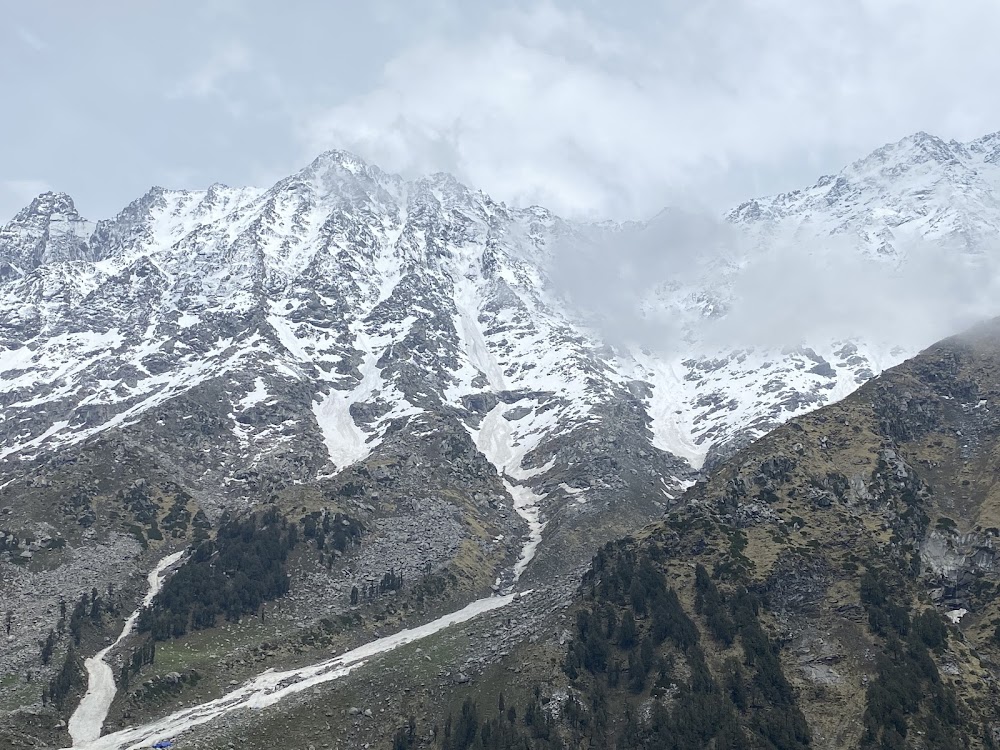
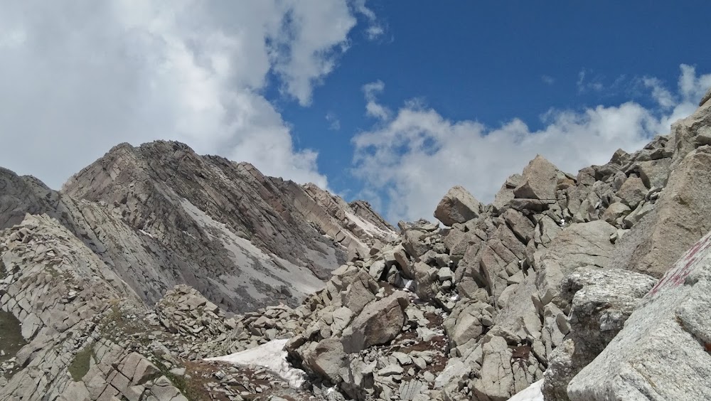
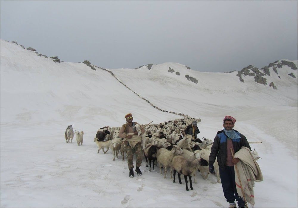
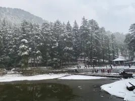
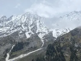
Indrahar Pass sits at around 4,342 m (14,245 ft) on the Dhauladhar range, acting as a natural gateway between the Kangra Valley and Chamba region of Himachal Pradesh. The trek is known for its steep ascents, exposed ridges, loose scree, and sudden weather changes—this is not a beginner-friendly walk. What makes it special is the constant shift in landscapes: dense deodar forests, alpine meadows, rocky moraines, and finally a narrow wind-swept saddle at the pass.
The route typically passes through Triund and Lahesh Cave, making it one of the most classic high-altitude extensions from Dharamshala. Once above Triund, the trail becomes quieter, harsher, and more serious. From the top of the pass, on a clear day, you get commanding views of both sides of the Himalayas—Kangra on one side and Chamba’s remote valleys on the other.
Indrahar Pass is best attempted by trekkers who want an authentic Himalayan challenge rather than a scenic picnic trek. It demands physical endurance, acclimatization, and respect for the mountains.
| Location | Google Maps |
|---|
| By Type | Mountain Pass |
|---|---|
| By Location Features | On High-Altitude |
| By Settlement Type | In Remote Location |
⚠️ This content may be AI-generated and could contain misinformation. If you notice any issue or want to suggest edits, please let us know.