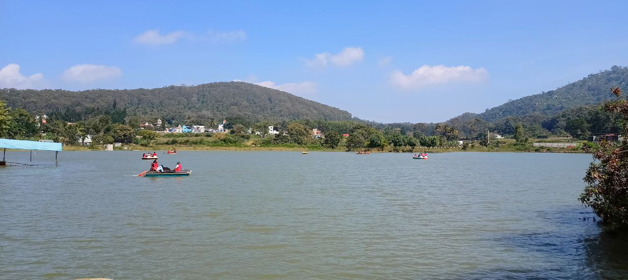
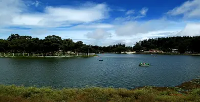
Yelagiri is a low-altitude hill region (around 1,100 meters above sea level) in the Eastern Ghats, developed as a quieter alternative to crowded hill stations in Tamil Nadu. Unlike Ooty or Kodaikanal, it remains relatively less commercialized, with small villages, orchards, and forest patches forming most of the landscape. The main hub is around Athanavur, where basic hotels, eateries, and the Yelagiri Lake (Punganoor Lake) are located.
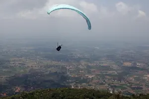
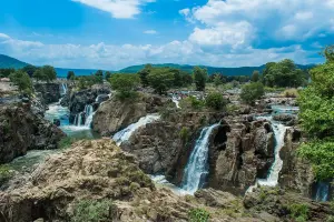
The destination is popular for short stays rather than long vacations. Activities include short treks like Swamimalai Peak (the highest point in Yelagiri), boating at Punganoor Lake, and visiting Jalagamparai Waterfalls (best after monsoon). The ghat road connecting Jolarpettai to Yelagiri, with 14 hairpin bends, is a key driving attraction. Overall, it suits travelers looking for a simple, budget-friendly hill experience without heavy crowds or luxury tourism.
| Location | Google Maps |
|---|---|
| District | Tirupathur |
| State/UT | Tamil Nadu |
| By Air | Nearest airport is Kempegowda International Airport (Bangalore) ~160 km; Chennai Airport ~230 km. |
| By Train | Nearest railway station is Jolarpettai Junction (~20 km), well connected to Bangalore, Chennai, and other major cities. |
| By Road | Well connected via road from Bangalore (~160 km) and Chennai (~230 km). From Jolarpettai, a ghat road with 14 hairpin bends leads to Yelagiri. |
| Local Transportation | No strong public transport network within Yelagiri
Auto rickshaws available but limited Renting a bike or bringing your own vehicle is the best option Walking works for nearby spots around Athanavur, but not for distant attractions like waterfalls |
| Common Scams |
Overpricing by local auto drivers (negotiate before starting)
|
|---|
| By Type | Town , Hill Station |
|---|
⚠️ This content may be AI-generated and could contain misinformation. If you notice any issue or want to suggest edits, please let us know.